 Charted Planet
Maps · Data · One planet
The world, in data.
Every country coloured by one question, from open data you can check. Short maps for a quick look, full-length films for the whole story.
First films coming soon
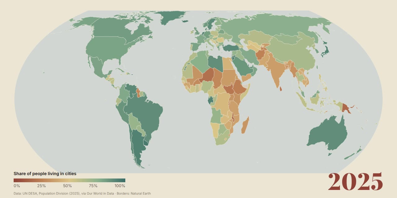
The atlas
Maps so far
Shorts
Full-length
First films coming soon
The first maps are being drawn. They appear here the moment they are published; follow along below to catch them first.
How we make them
Every colour comes from a source.
- 01
Open data only
Charts from Our World in Data whose sources allow reuse with credit. Anything with a non-commercial or closed licence is turned away before it becomes an idea.
- 02
Credited on screen
The source, the year range and what was measured stay on screen for the whole film, so you can look the numbers up yourself.
- 03
Honest borders
Country shapes come from Natural Earth, drawn in the Equal Earth projection so no continent looks bigger than it is.
Our films are narrated by an AI voice, and every upload says so.
Follow